Electric station-keeping and repeatable coastal survey platforms
Field-proven systems for precise positioning, sensing, and GPS-referenced evidence collection in coastal environments.
At a glance
- Hold-in-place control for boats, buoys, and modular rafts
- Precision goto and safe routing for near-shore operations
- Designed to produce GPS-referenced evidence and repeatable outputs
Field evidence
Three short examples showing station-keeping, coordinated operation, and survey-style tracks.
4 Buoys · Full tidal cycle
Multi-buoy operation over an all-day tide cycle, moving as a coordinated set.
- All-day endurance and continuity
- Multi-asset coordination (fleet behaviour)
- Field realism across tide and conditions
Boat · Electric hold & move
Electric station-keeping and controlled movement in real coastal conditions.
- Anchor-free station-keeping
- Repeatable goto and repositioning
- Low-impact electric operation
Survey track example
Example photogrammetry-style run demonstrating controlled track and repeatability.
- Stable track suitable for imaging workflows
- Repeatable pass structure
- Evidence capture aligned to GPS position
Raft platform · early development
Short field clip showing the early development of the modular raft platform, focusing on stability, control, and low-speed behaviour.
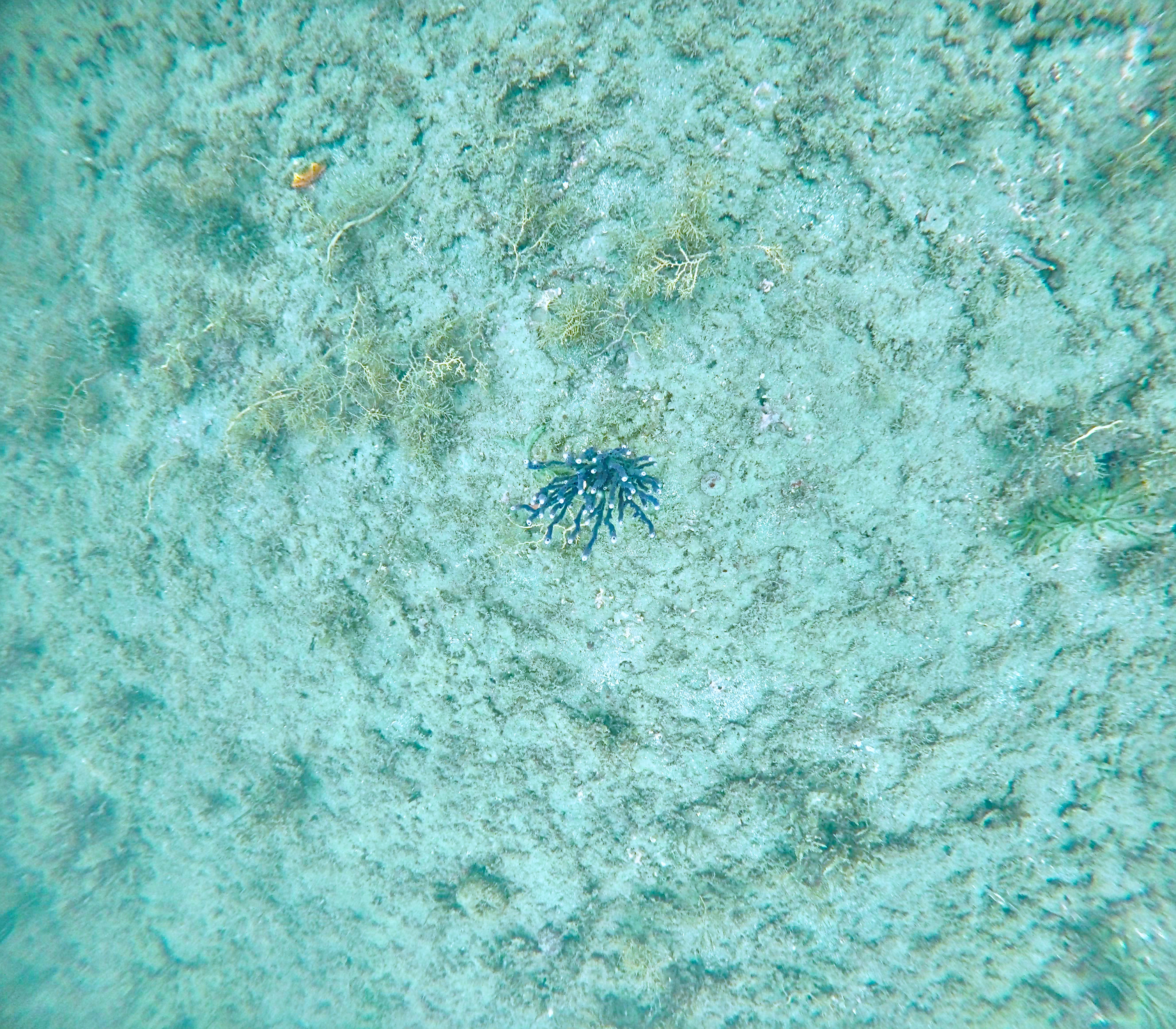
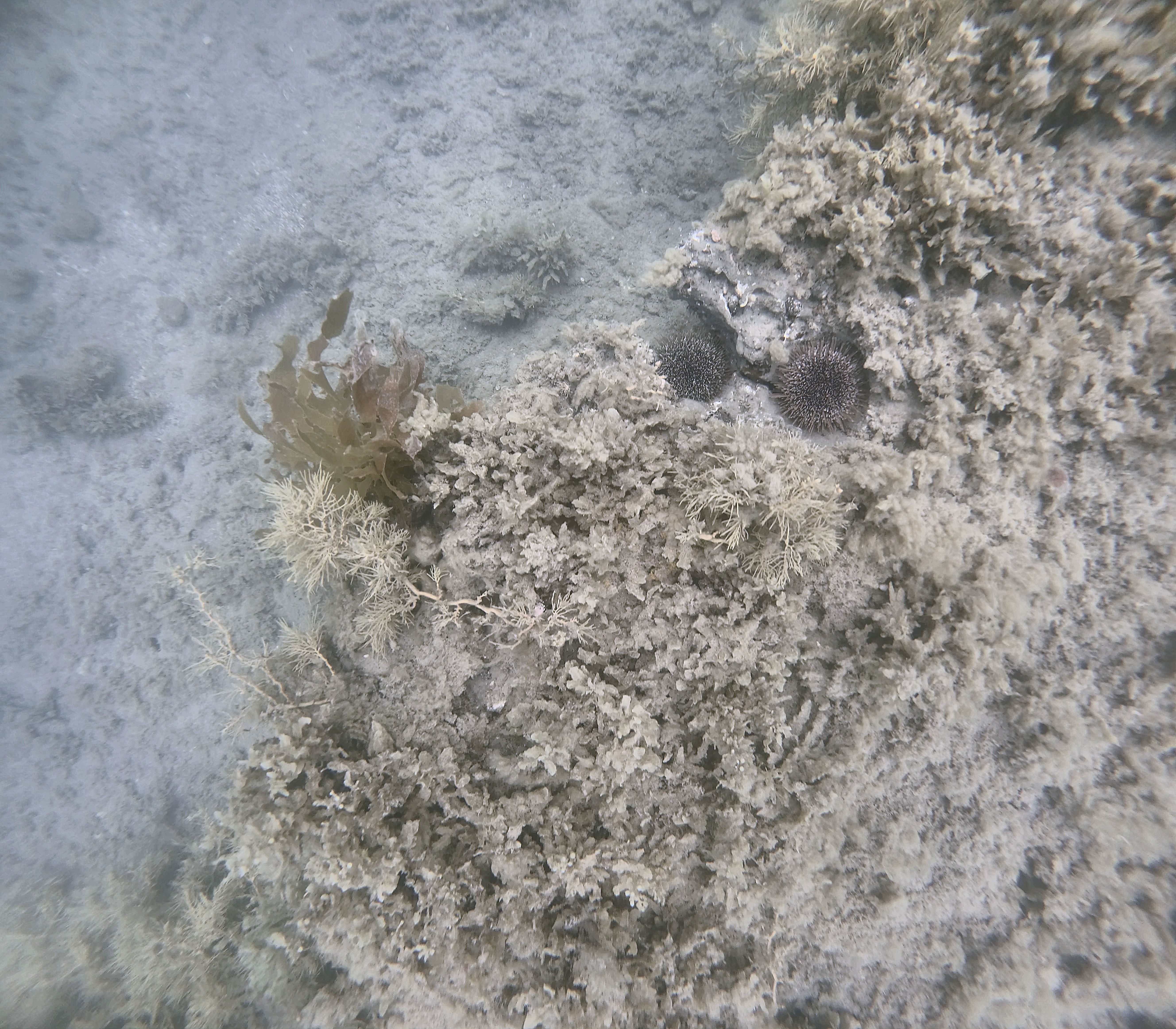
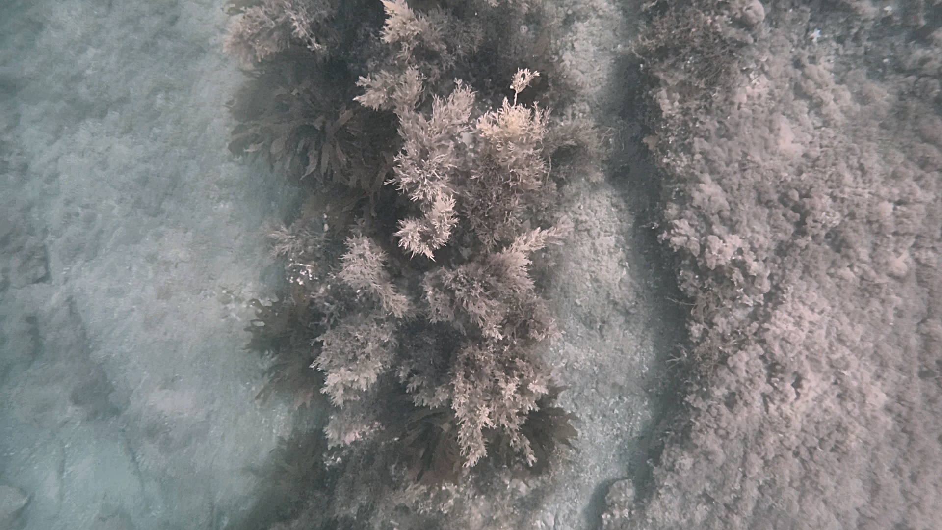
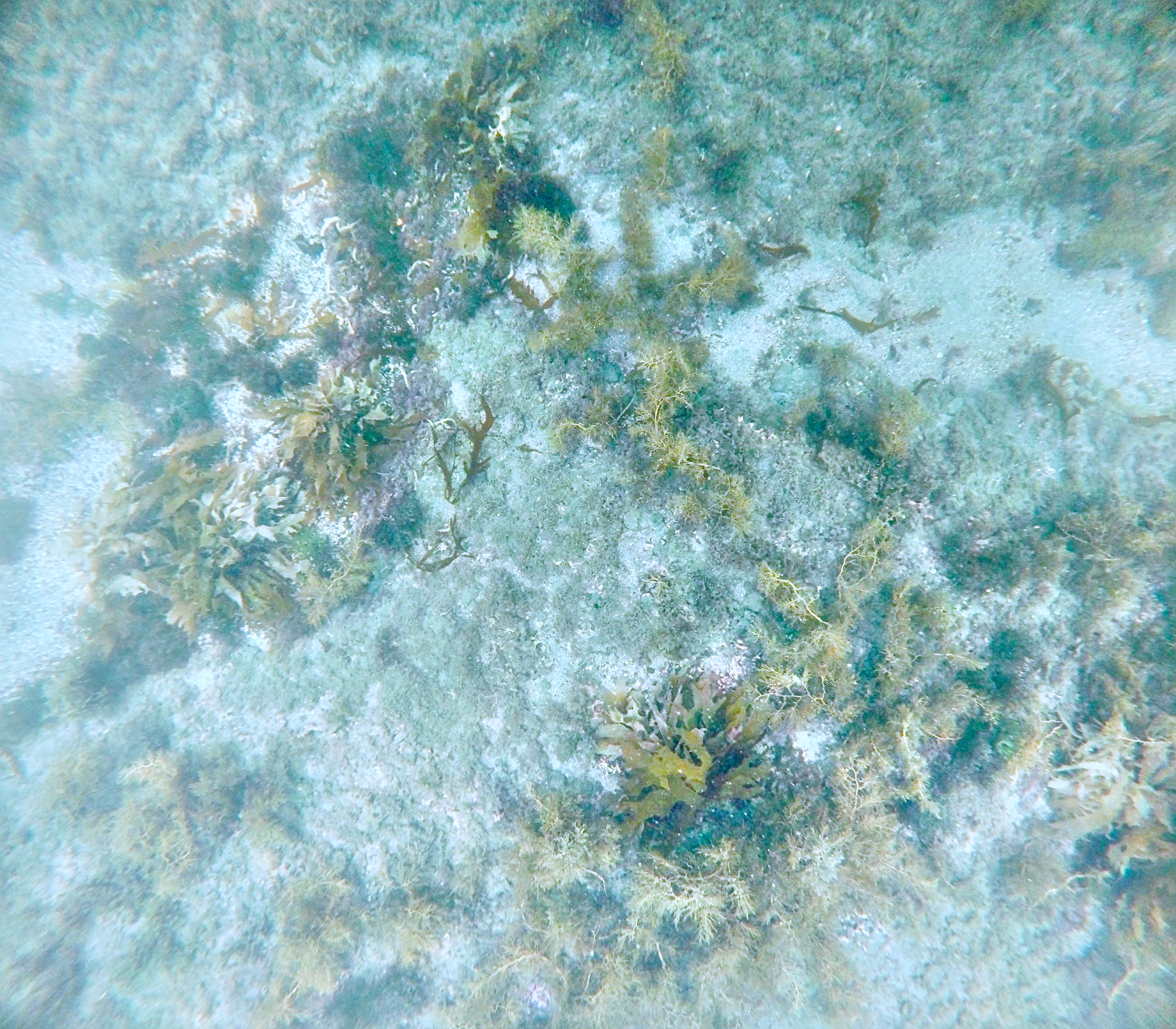
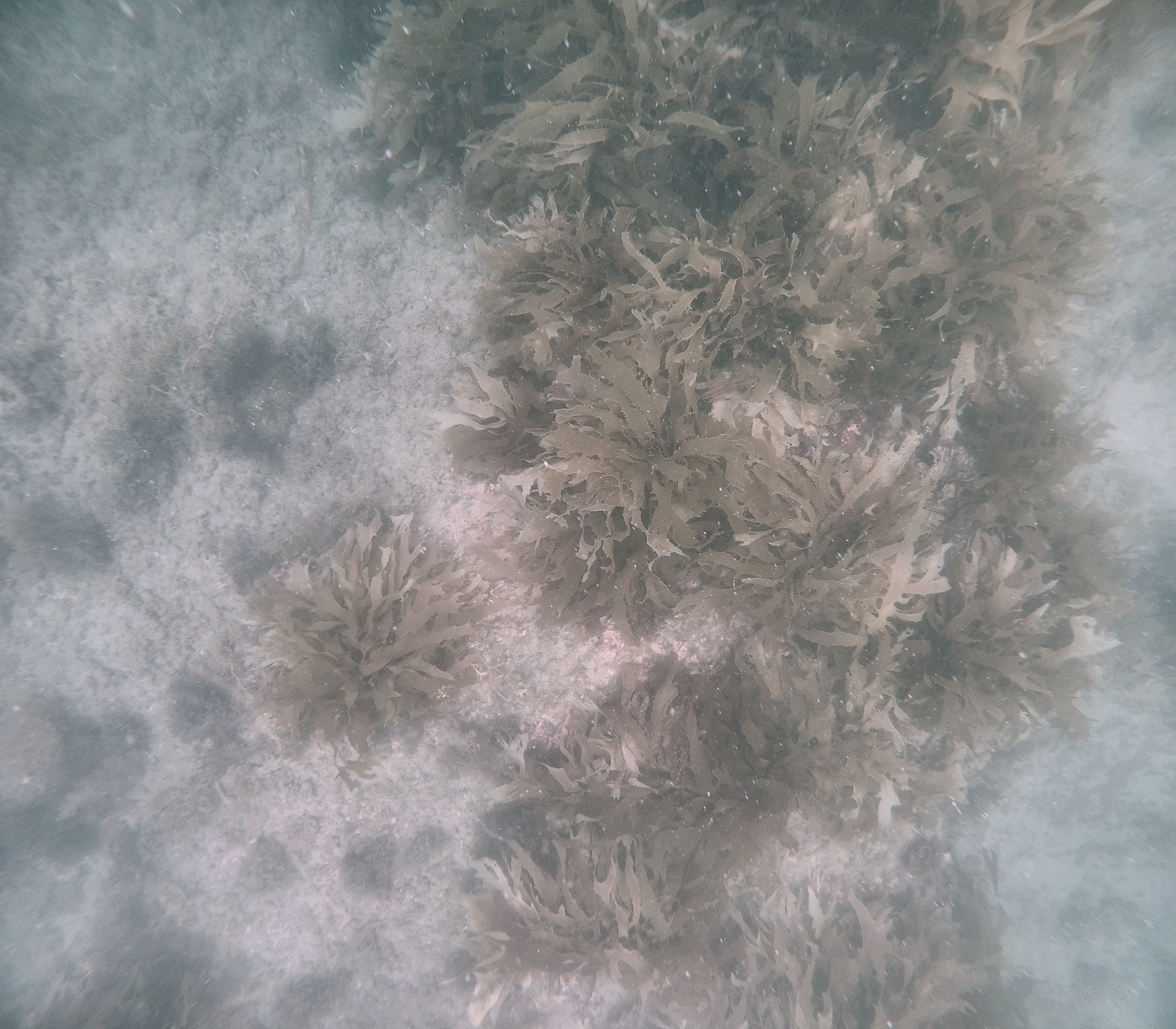
Example seabed imagery
Snapshots from field work (including marginal visibility cases). Click an image to enlarge.
What we build
Autonomous positioning
Station-keeping and goto behaviours designed for repeatable field operation.
Embedded sensing
Platforms supporting wind, wave, current, and seabed inference where appropriate.
Data-first outputs
GPS-referenced outputs designed for mapping, planning, and decision-making.
Team
Hold2X is built by a team of five specialist engineers spanning marine systems, robotics, control software, geospatial data, and field deployment.
We focus on practical, test-driven development: build, deploy, measure, iterate.
How we work
- Field-first prototypes and real deployments
- Operator-clear control and communications
- Outputs structured for spatial analysis pipelines
Data & visualisation
Hold2X systems are designed to feed directly into map-native review and sharing. see1m is our lightweight visualisation layer for selected outputs.
Use cases
- Coastal monitoring and rapid near-shore surveys
- Environmental response and repeatable positioning
- Operations where anchors are impractical
Contact
Email: info@hold2x.com
Location: New Zealand
For coastal datasets, planning tools, or field collection workflows, get in touch and we’ll point you to the right demo.